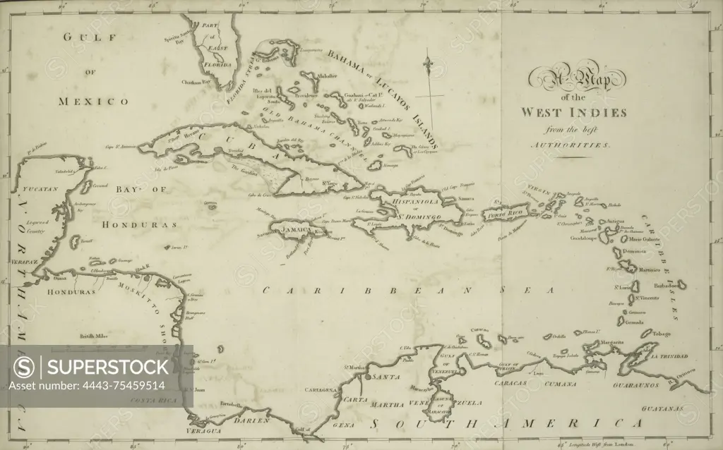
A map of the West Indies, created in 1794 by John Stockdale. It measures 27 x 42 cm and is folded. The map was published in London by J. Stockdale
SuperStock offers millions of photos, videos, and stock assets to creatives around the world. This image of A map of the West Indies, created in 1794 by John Stockdale. It measures 27 x 42 cm and is folded. The map was published in London by J. Stockdale by Artokoloro is available for licensing today.
Looking for a license?
Click here, and we'll help you find it! Questions? Just ask!
Click here, and we'll help you find it! Questions? Just ask!
DETAILS
Image Number: 4443-75459514Rights ManagedCredit Line:Artokoloro/SuperStockCollection:Artokoloro Model Release:NoProperty Release:NoResolution:6364×3970