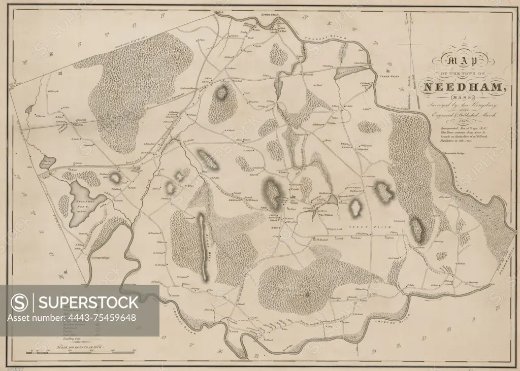
Map of the town of Needham, Massachusetts, 1836. Issued in Boston, Massachusetts. The map features real property and landowners in Needham, depicted on a sheet measuring 47 x 65 cm, with the map itself measuring 41 x 60 cm. Publisher information is not identified
SuperStock offers millions of photos, videos, and stock assets to creatives around the world. This image of Map of the town of Needham, Massachusetts, 1836. Issued in Boston, Massachusetts. The map features real property and landowners in Needham, depicted on a sheet measuring 47 x 65 cm, with the map itself measuring 41 x 60 cm. Publisher information is not identified by Artokoloro is available for licensing today.
Looking for a license?
Click here, and we'll help you find it! Questions? Just ask!
Click here, and we'll help you find it! Questions? Just ask!
DETAILS
Image Number: 4443-75459648Rights ManagedCredit Line:Artokoloro/SuperStockCollection:Artokoloro Model Release:NoProperty Release:NoResolution:5700×4073