Map titled 'Sheet no. 3, western territories, 1876,' produced by the War Department's Office of the Chief of Engineers. It depicts the western territories of the United States around that period, covering areas such as Montana, the Rocky Mountains, and Wyoming. The map measures 63 x 48 cm and is presented on a sheet that is 77 x 57 cm. It was published in Washington, D.C., under the authority of the Secretary of War, U.S. Army
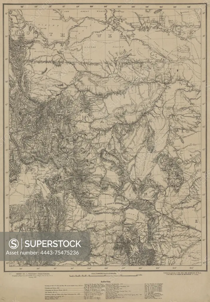
SuperStock offers millions of photos, videos, and stock assets to creatives around the world. This image of Map titled 'Sheet no. 3, western territories, 1876,' produced by the War Department's Office of the Chief of Engineers. It depicts the western territories of the United States around that period, covering areas such as Montana, the Rocky Mountains, and Wyoming. The map measures 63 x 48 cm and is presented on a sheet that is 77 x 57 cm. It was published in Washington, D.C., under the authority of the Secretary of War, U.S. Army by Artokoloro is available for licensing today.
Looking for a license?
Click here, and we'll help you find it! Questions? Just ask!
Click here, and we'll help you find it! Questions? Just ask!
DETAILS
Image Number: 4443-75475236Rights ManagedCredit Line:Artokoloro/SuperStockCollection:Artokoloro Model Release:NoProperty Release:NoResolution:3979×5700