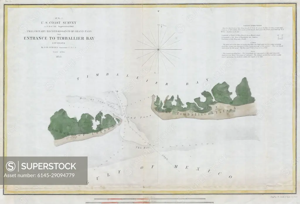
1853 U.S.C.S. Map of Timbalier Bay, Louisiana
SuperStock offers millions of photos, videos, and stock assets to creatives around the world. This image of Explore Historical Navigation: 1853 Map of Timbalier Bay's Entrance - Coastal Survey Chart by Piemags/PL Photography Limited is available for licensing today.
Looking for a license?
Click here, and we'll help you find it! Questions? Just ask!
Click here, and we'll help you find it! Questions? Just ask!
DETAILS
Image Number: 6145-29094779Royalty FreeCredit Line:Piemags/PL Photography Limited/SuperStockCollection: