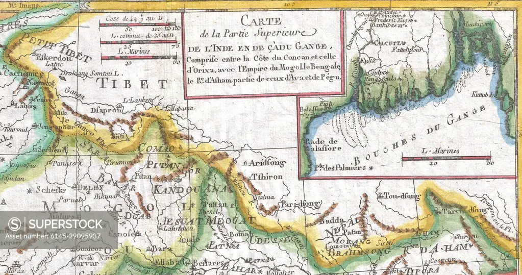
Map of Tibet, 1780 Raynal and Bonne Map of Northern India
SuperStock offers millions of photos, videos, and stock assets to creatives around the world. This image of Explore Historical Geography: Antique Map of the Upper Ganges and Tibet Region - A Glimpse into 18th Century Cartography by Piemags/PL Photography Limited is available for licensing today.
Looking for a license?
Click here, and we'll help you find it! Questions? Just ask!
Click here, and we'll help you find it! Questions? Just ask!
DETAILS
Image Number: 6145-29095937Royalty FreeCredit Line:Piemags/PL Photography Limited/SuperStockCollection:PL Photography Limited Contributor:Piemags Model Release:NoProperty Release:NoResolution:1699×895