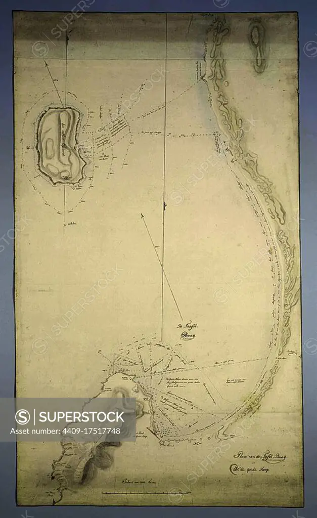
Map of Table Bay and Robben Island. Draughtsman: Robert Jacob Gordon (attributed to). Draughtsman: Johannes Schumacher (possibly). Draughtsman: J.C. Friderici (attributed to). Dating: c. 1788. Place: Kaapprovincie. Measurements: ×; h 1135 mm × w 655 mm. Museum: Rijksmuseum, Amsterdam.
This asset has restrictions and cannot be purchased online. Get in touch for more details.
SuperStock offers millions of photos, videos, and stock assets to creatives around the world. This image of Map of Table Bay and Robben Island. Draughtsman: Robert Jacob Gordon (attributed to). Draughtsman: Johannes Schumacher (possibly). Draughtsman: J.C. Friderici (attributed to). Dating: c. 1788. Place: Kaapprovincie. Measurements: ×; h 1135 mm × w 655 mm. Museum: Rijksmuseum, Amsterdam. by Album/Album Archivo is available for licensing today.
Looking for a license?
Click here, and we'll help you find it! Questions? Just ask!
Click here, and we'll help you find it! Questions? Just ask!
DETAILS
Image Number: 4409-17517748Rights ManagedCredit Line:Album/Album Archivo/SuperStockCollection:Album Archivo Contributor:Album Model Release:NoProperty Release:NoResolution:2477×4040