Map of St. Paul's area, from Agas's plan. Date: 1550-60
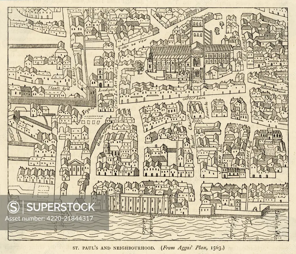
SuperStock offers millions of photos, videos, and stock assets to creatives around the world. This image of Explore Historic London: St. Paul's and Neighborhood in a 1593 Map Illustration by Mary Evans Picture Library/Pantheon is available for licensing today.
Looking for a license?
Click here, and we'll help you find it! Questions? Just ask!
Click here, and we'll help you find it! Questions? Just ask!
DETAILS
Image Number: 4220-21844317Rights ManagedCredit Line:Mary Evans Picture Library/Pantheon/SuperStockCollection:Mary Evans Picture Library Model Release:NoProperty Release:NoResolution:3936×3372