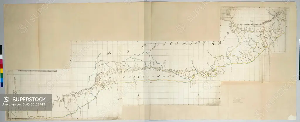
Map of the South Coast of the Cape From Table Bay to the Great Kei River. The map covers the coastal strip and the adjacent interior from the western part of table bay to the mouth of the Great Keirivier; Text accelerated by means of a guide map with degree indications.
SuperStock offers millions of photos, videos, and stock assets to creatives around the world. This image of Map of the South Coast of the Cape From Table Bay to the Great Kei River. The map covers the coastal strip and the adjacent interior from the western part of table bay to the mouth of the Great Keirivier; Text accelerated by means of a guide map with degree indications. by Piemags/PL Photography Limited is available for licensing today.
Looking for a license?
Click here, and we'll help you find it! Questions? Just ask!
Click here, and we'll help you find it! Questions? Just ask!
DETAILS
Image Number: 6145-30129443Royalty FreeCredit Line:Piemags/PL Photography Limited/SuperStockCollection:PL Photography Limited Contributor:Piemags Model Release:NoProperty Release:NoResolution:3000×1227