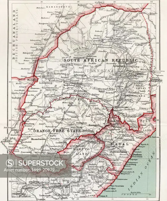
Map of South African republic, Orange Free State and Natal circa. 1900. From the book South Africa and the Transvaal War by Louis Creswicke, published 1900.
SuperStock offers millions of photos, videos, and stock assets to creatives around the world. This image of Map of South African republic, Orange Free State and Natal circa. 1900. From the book South Africa and the Transvaal War by Louis Creswicke, published 1900. by Universal Images is available for licensing today.
DETAILS
Image Number: 1899-20979Rights ManagedCredit Line:Universal Images/SuperStockCollection:Universal Images Model Release:NoProperty Release:NoResolution:4016×4826