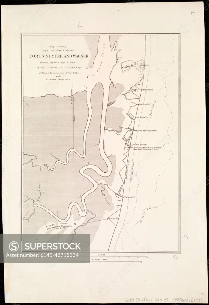
Map showing siege operations against Forts Sumter and Wagner between July 13th & Sept. 7th, 1863 , Fortification, South Carolina, Civil War, 1861-1865, Maps, Fort Sumter Charleston, S.C., History, 19th century, Maps, Fort Wagner S.C., History, 19th century, Maps Norman B. Leventhal Map Center Collection
SuperStock offers millions of photos, videos, and stock assets to creatives around the world. This image of Map showing siege operations against Forts Sumter and Wagner between July 13th & Sept. 7th, 1863 , Fortification, South Carolina, Civil War, 1861-1865, Maps, Fort Sumter Charleston, S.C., History, 19th century, Maps, Fort Wagner S.C., History, 19th century, Maps Norman B. Leventhal Map Center Collection by Piemags/PL Photography Limited is available for licensing today.
DETAILS
Image Number: 6145-48718334Royalty FreeCredit Line:Piemags/PL Photography Limited/SuperStockCollection:PL Photography Limited Contributor:Piemags Model Release:NoProperty Release:NoResolution:3462×5055
Free Research
Can't find the usage you need?
We're here to help!
Phone:+1 866 236 0087
Email: help@superstock.com
or fill out a Contact Form
Research / License Request Form
Can't find the usage you need?
We're here to help!
Phone:
or fill out a Contact Form
Research / License Request Form
Retouching Services
Our MediaMagnet division offers comprehensive retouching services at great rates. For a free quote, please send us an e-mail and we'll get back to you promptly.
Email: Retouching Service
Our MediaMagnet division offers comprehensive retouching services at great rates. For a free quote, please send us an e-mail and we'll get back to you promptly.
Email: Retouching Service