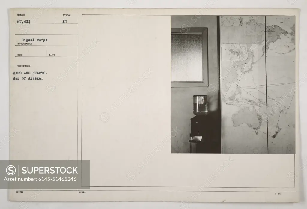
Map showing the geographical layout of Alaska during World War One. This particular map is numbered 67,401 and was taken by the Signal Corps. It provides an overview of the region, including symbols and notes.
SuperStock offers millions of photos, videos, and stock assets to creatives around the world. This image of Map showing the geographical layout of Alaska during World War One. This particular map is numbered 67,401 and was taken by the Signal Corps. It provides an overview of the region, including symbols and notes. by PL Photography Limited is available for licensing today.
Looking for a license?
Click here, and we'll help you find it! Questions? Just ask!
Click here, and we'll help you find it! Questions? Just ask!
DETAILS
Image Number: 6145-51465246Royalty FreeCredit Line:PL Photography Limited/SuperStockCollection:PL Photography Limited Model Release:NoProperty Release:NoResolution:8495×5774