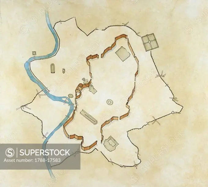
Map of the Servian wall, constructed around the city of Rome in the early 4th century BC, drawing
SuperStock offers millions of photos, videos, and stock assets to creatives around the world. This image of Map of the Servian wall, constructed around the city of Rome in the early 4th century BC, drawing by DeAgostini is available for licensing today.
DETAILS
Image Number: 1788-17583Rights ManagedCredit Line:DeAgostini/SuperStockCollection:DeAgostini Model Release:NoProperty Release:NoResolution:4565×4116