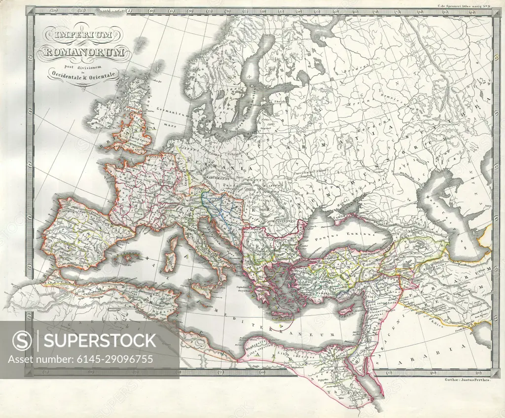
1850 Map of the Roman Empire as Divided into East and West (Ancient Rome)
SuperStock offers millions of photos, videos, and stock assets to creatives around the world. This image of Explore the Expansive Map of Ancient Roman Empire: Historical Geography of Europe and the Mediterranean by Piemags/PL Photography Limited is available for licensing today.
Looking for a license?
Click here, and we'll help you find it! Questions? Just ask!
Click here, and we'll help you find it! Questions? Just ask!
DETAILS
Image Number: 6145-29096755Royalty FreeCredit Line:Piemags/PL Photography Limited/SuperStockCollection: