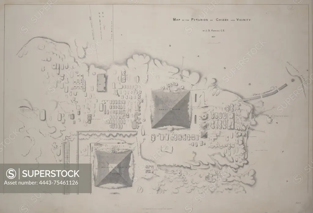
Map of the pyramids of Ghizeh and vicinity. Part 1. by J. S. Perring (1813-1869). Issued between 1839 and 1842, London, published by J. Fraser. Created in 1837. Lithograph measuring 55 x 77 cm
SuperStock offers millions of photos, videos, and stock assets to creatives around the world. This image of Map of the pyramids of Ghizeh and vicinity. Part 1. by J. S. Perring (1813-1869). Issued between 1839 and 1842, London, published by J. Fraser. Created in 1837. Lithograph measuring 55 x 77 cm by Artokoloro is available for licensing today.
Looking for a license?
Click here, and we'll help you find it! Questions? Just ask!
Click here, and we'll help you find it! Questions? Just ask!
DETAILS
Image Number: 4443-75461126Rights ManagedCredit Line:Artokoloro/SuperStockCollection:Artokoloro Model Release:NoProperty Release:NoResolution:6608×4507