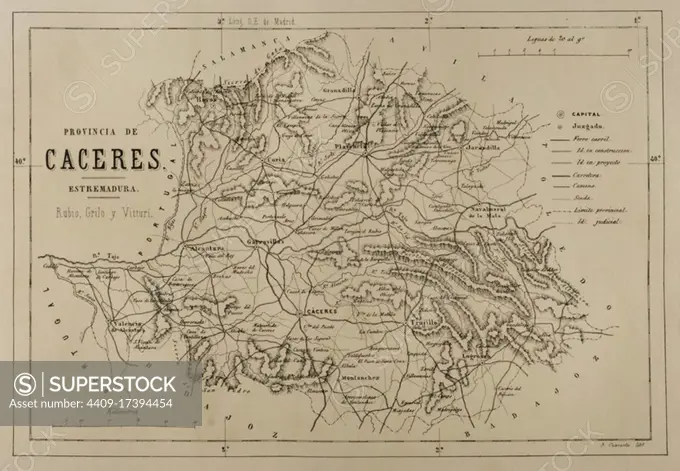
Map of the province of Caceres, Extremadura, Spain. Cronica General de Espan_a, Historia Ilustrada y Descriptiva de sus Provincias. Extremadura, 1870.
This image has restrictions and cannot be purchased online. Get in touch for more details.
SuperStock offers millions of photos, videos, and stock assets to creatives around the world. This image of Map of the province of Caceres, Extremadura, Spain. Cronica General de Espan_a, Historia Ilustrada y Descriptiva de sus Provincias. Extremadura, 1870. by Album/Prisma/Album Archivo is available for licensing today.
DETAILS
Image Number: 4409-17394454Rights ManagedCredit Line:Album/Prisma/Album Archivo/SuperStockCollection:Album Archivo Contributor:Album / Prisma Model Release:NoProperty Release:NoResolution:4961×3439