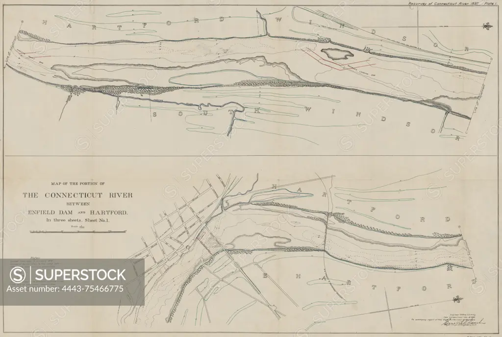
Map of the portion of the Connecticut River between Enfield Dam and Hartford, created in 1897. The map is divided into three sheets and includes an additional title, 'Connecticut River between Enfield Dam and Hartford.' It was published by the U.S. House of Representatives in Washington, D.C. The map is a nautical chart of the Connecticut River and measures 1 map on 3 sheets, with each sheet sized 47 x 69 cm and featuring color illustrations
SuperStock offers millions of photos, videos, and stock assets to creatives around the world. This image of Map of the portion of the Connecticut River between Enfield Dam and Hartford, created in 1897. The map is divided into three sheets and includes an additional title, 'Connecticut River between Enfield Dam and Hartford.' It was published by the U.S. House of Representatives in Washington, D.C. The map is a nautical chart of the Connecticut River and measures 1 map on 3 sheets, with each sheet sized 47 x 69 cm and featuring color illustrations by Artokoloro is available for licensing today.
Looking for a license?
Click here, and we'll help you find it! Questions? Just ask!
Click here, and we'll help you find it! Questions? Just ask!
DETAILS
Image Number: 4443-75466775Rights ManagedCredit Line:Artokoloro/SuperStockCollection:Artokoloro Model Release:NoProperty Release:NoResolution:5700×3835