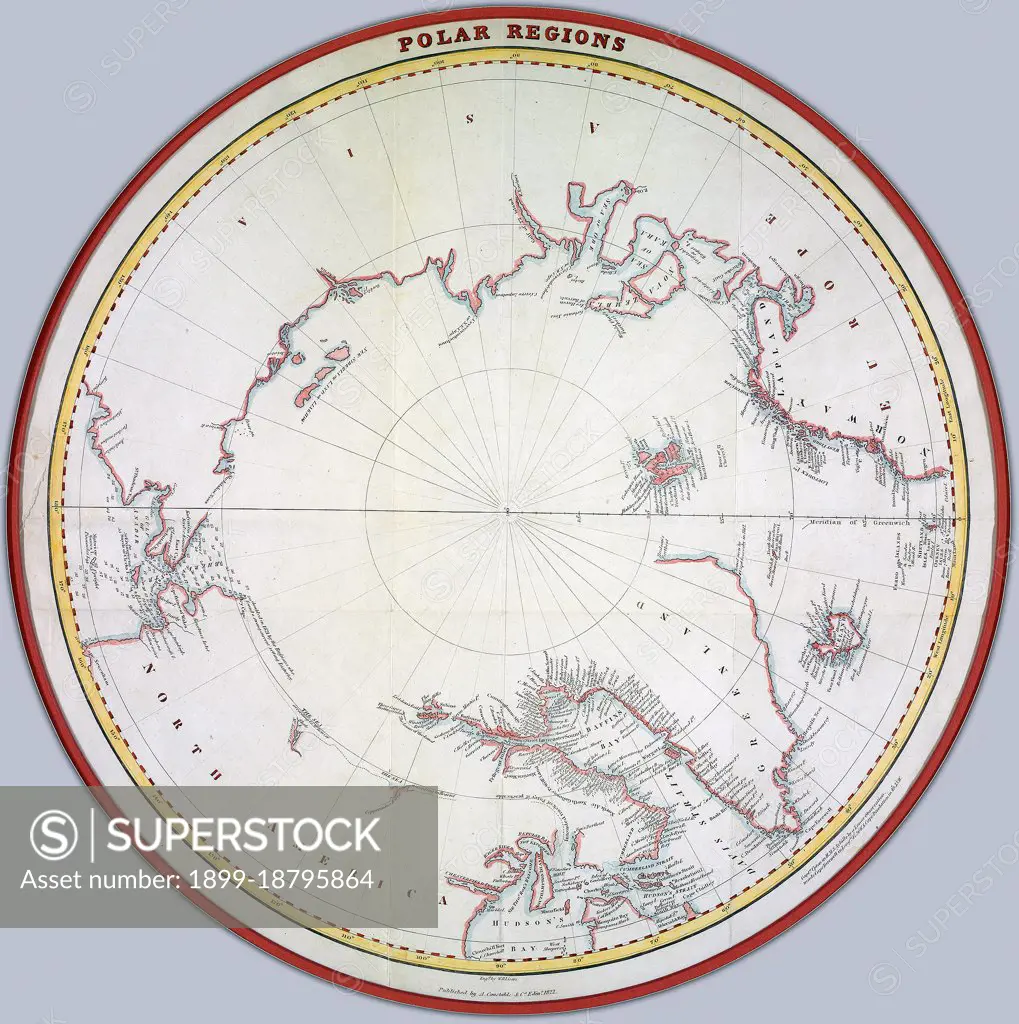
Map of the polar regions ca. 1822 Creator: Lizars, William Home, 1788-1859.
SuperStock offers millions of photos, videos, and stock assets to creatives around the world. This image of Map of the polar regions ca. 1822 Creator: Lizars, William Home, 1788-1859. by HUM Images/Universal Images is available for licensing today.
Looking for a license?
Click here, and we'll help you find it! Questions? Just ask!
Click here, and we'll help you find it! Questions? Just ask!
DETAILS
Image Number: 1899-18795864Rights ManagedCredit Line:HUM Images/Universal Images/SuperStockCollection: