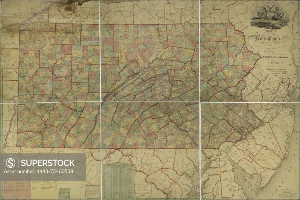
Map of Pennsylvania, 1848, by R. L. Barnes, published in Philadelphia. The map is hand-colored and consists of 6 sheets, with an extent of 125 x 186 cm, and individual sheets measuring 67 x 64 cm or smaller
SuperStock offers millions of photos, videos, and stock assets to creatives around the world. This image of Map of Pennsylvania, 1848, by R. L. Barnes, published in Philadelphia. The map is hand-colored and consists of 6 sheets, with an extent of 125 x 186 cm, and individual sheets measuring 67 x 64 cm or smaller by Artokoloro is available for licensing today.
Looking for a license?
Click here, and we'll help you find it! Questions? Just ask!
Click here, and we'll help you find it! Questions? Just ask!
DETAILS
Image Number: 4443-75460538Rights ManagedCredit Line:Artokoloro/SuperStockCollection:Artokoloro Model Release:NoProperty Release:NoResolution:5700×3797