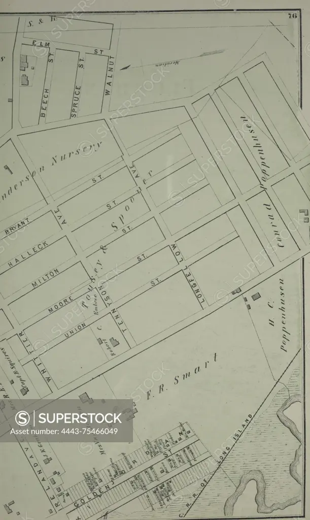
A map of part of Flushing in Queens County, New York, depicting various streets including Boerum Avenue, Brewster Avenue, Parsons Avenue, Sanford Avenue, Jamaica Avenue, Ireland Avenue, Whittier Avenue, Tennyson Avenue, and Longfellow Avenue. The map was published in 1873 by Beers, Comstock & Cline
SuperStock offers millions of photos, videos, and stock assets to creatives around the world. This image of A map of part of Flushing in Queens County, New York, depicting various streets including Boerum Avenue, Brewster Avenue, Parsons Avenue, Sanford Avenue, Jamaica Avenue, Ireland Avenue, Whittier Avenue, Tennyson Avenue, and Longfellow Avenue. The map was published in 1873 by Beers, Comstock & Cline by Artokoloro is available for licensing today.
Looking for a license?
Click here, and we'll help you find it! Questions? Just ask!
Click here, and we'll help you find it! Questions? Just ask!
DETAILS
Image Number: 4443-75466049Rights ManagedCredit Line:Artokoloro/SuperStockCollection:Artokoloro Model Release:NoProperty Release:NoResolution:3290×5513