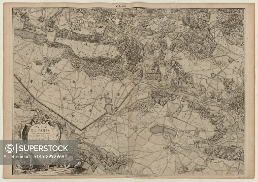
Map of Paris and its surroundings on a very large scale, made by the abbot of La Grive, geographer of the city of Paris in 1740 / 5th leaf (near Versailles, St Cyr)
SuperStock offers millions of photos, videos, and stock assets to creatives around the world. This image of Map of Paris and its surroundings on a very large scale, made by the abbot of La Grive, geographer of the city of Paris in 1740 / 5th leaf (near Versailles, St Cyr) by Piemags/PL Photography Limited is available for licensing today.
Looking for a license?
Click here, and we'll help you find it! Questions? Just ask!
Click here, and we'll help you find it! Questions? Just ask!
DETAILS
Image Number: 6145-29929684Royalty FreeCredit Line:Piemags/PL Photography Limited/SuperStockCollection:PL Photography Limited Contributor:Piemags Model Release:NoProperty Release:NoResolution:10907×7713