Map of Oxfordshire Date: mid-18th century
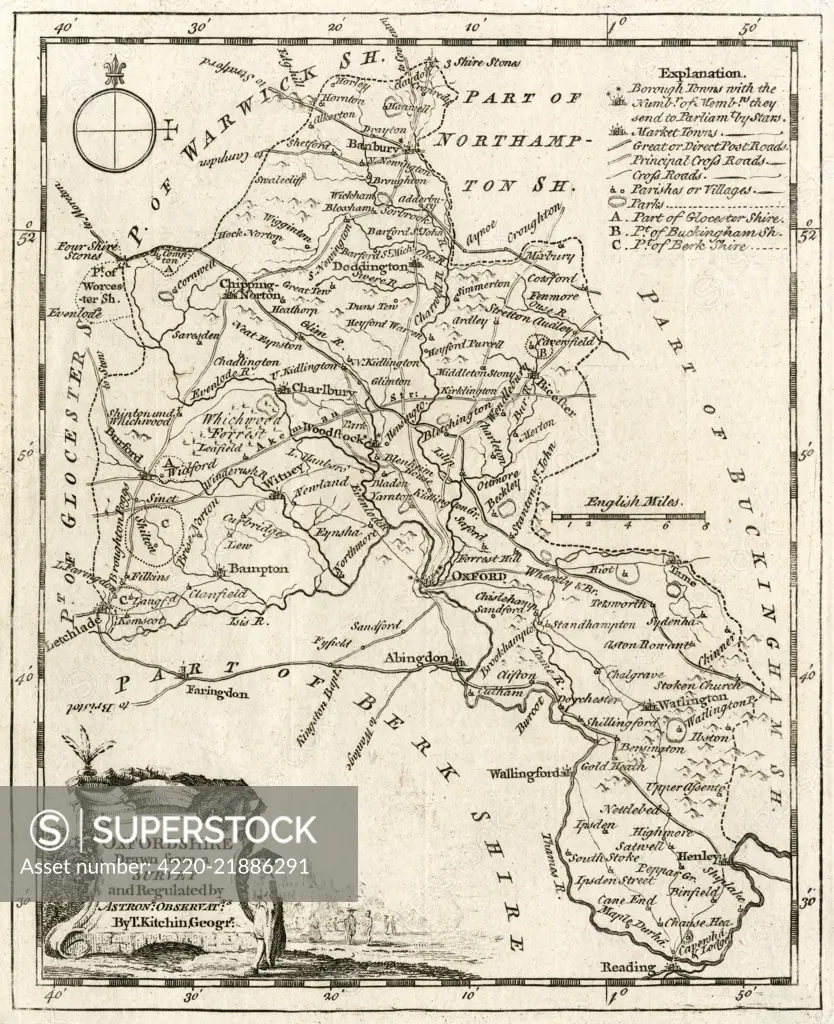
SuperStock offers millions of photos, videos, and stock assets to creatives around the world. This image of Explore Historical Oxfordshire: Detailed Antique Map from 1787 by Thomas Kitchen by Mary Evans Picture Library/Pantheon is available for licensing today.
Looking for a license?
Click here, and we'll help you find it! Questions? Just ask!
Click here, and we'll help you find it! Questions? Just ask!
DETAILS
Image Number: 4220-21886291Rights ManagedCredit Line:Mary Evans Picture Library/Pantheon/SuperStockCollection:Mary Evans Picture Library Model Release:YesProperty Release:NoResolution:3759×4613