Map of the Oregon Territory, 1841, produced by the United States Exploring Expedition (1838-1842). Issued in Washington, D.C. by U.S. Ex. Ex. The map covers the Northwest Pacific region and includes the Columbia River. The map's dimensions are 58 x 89 cm, printed on a sheet measuring 65 x 97 cm
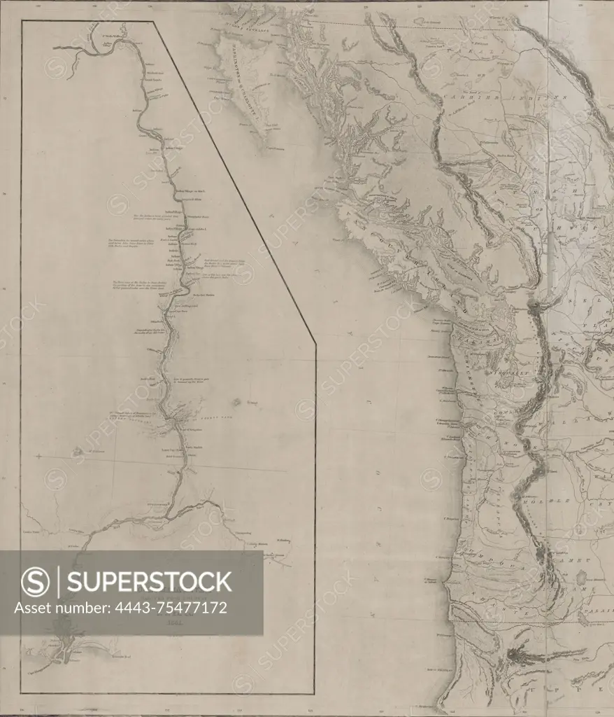
SuperStock offers millions of photos, videos, and stock assets to creatives around the world. This image of Map of the Oregon Territory, 1841, produced by the United States Exploring Expedition (1838-1842). Issued in Washington, D.C. by U.S. Ex. Ex. The map covers the Northwest Pacific region and includes the Columbia River. The map's dimensions are 58 x 89 cm, printed on a sheet measuring 65 x 97 cm by Artokoloro is available for licensing today.
Looking for a license?
Click here, and we'll help you find it! Questions? Just ask!
Click here, and we'll help you find it! Questions? Just ask!
DETAILS
Image Number: 4443-75477172Rights ManagedCredit Line:Artokoloro/SuperStockCollection:Artokoloro Model Release:NoProperty Release:NoResolution:4889×5700