Map of Oneida County, created by Stone and Clark in 1829 and issued in 1839. The map, measuring 52 x 41 cm, features hand-colored details and includes information about landowners and real property in Oneida County, New York
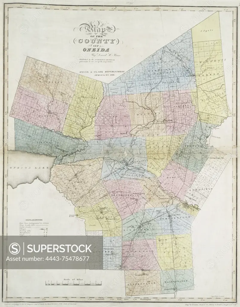
SuperStock offers millions of photos, videos, and stock assets to creatives around the world. This image of Map of Oneida County, created by Stone and Clark in 1829 and issued in 1839. The map, measuring 52 x 41 cm, features hand-colored details and includes information about landowners and real property in Oneida County, New York by Artokoloro is available for licensing today.
Looking for a license?
Click here, and we'll help you find it! Questions? Just ask!
Click here, and we'll help you find it! Questions? Just ask!
DETAILS
Image Number: 4443-75478677Rights ManagedCredit Line:Artokoloro/SuperStockCollection:Artokoloro Model Release:NoProperty Release:NoResolution:3461×4411