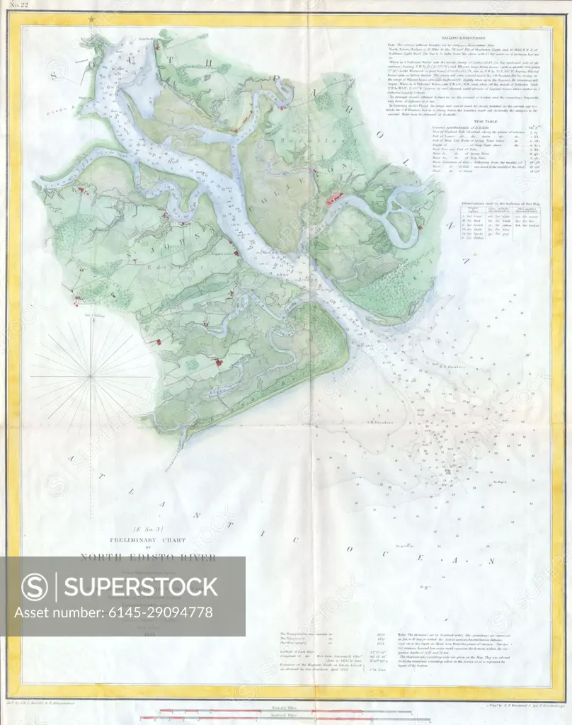
1853 U.S.C.S. Map of the North Edisto River, South Carolina
SuperStock offers millions of photos, videos, and stock assets to creatives around the world. This image of Explore the Historic Nautical Chart of North Edisto River - A Detailed 19th Century Coastal Map for Navigation Enthusiasts. by Piemags/PL Photography Limited is available for licensing today.
DETAILS
Image Number: 6145-29094778Royalty FreeCredit Line:Piemags/PL Photography Limited/SuperStockCollection: