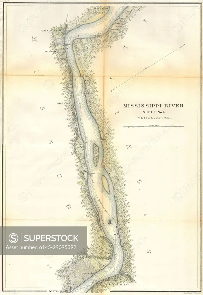
1865 U.S.C.S. Map of the Mississippi River 78 to 98 miles above Cairo, Illinois
SuperStock offers millions of photos, videos, and stock assets to creatives around the world. This image of Historic Mississippi River Map – Explore Navigation and Topography Details by Piemags/PL Photography Limited is available for licensing today.
Looking for a license?
Click here, and we'll help you find it! Questions? Just ask!
Click here, and we'll help you find it! Questions? Just ask!
DETAILS
Image Number: 6145-29095392Royalty FreeCredit Line:Piemags/PL Photography Limited/SuperStockCollection: