1853 U.S.C.S. Map of Minots Ledge, near Boston Harbor ( Cohasset )
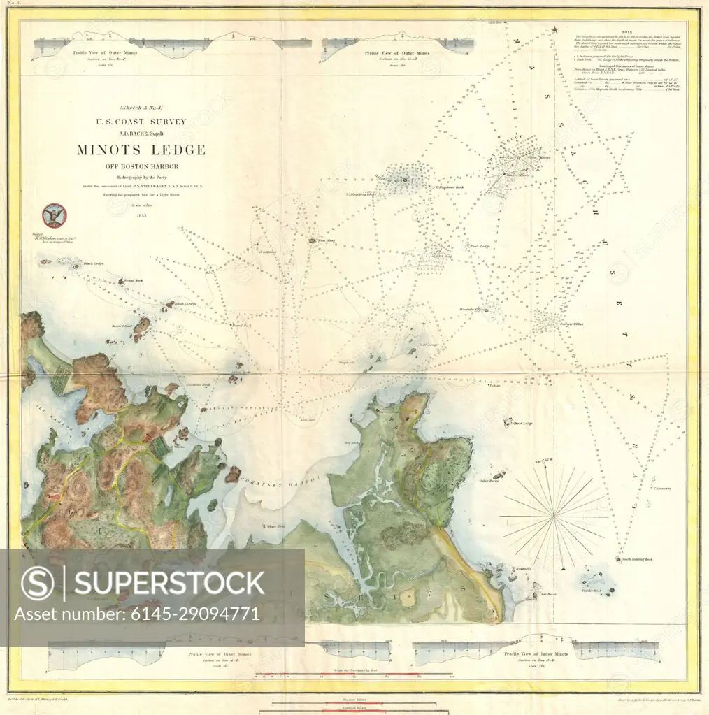
SuperStock offers millions of photos, videos, and stock assets to creatives around the world. This image of Explore Historical Nautical Cartography: Detailed 1857 Minot's Ledge Map by U.S. Coast Survey by Piemags/PL Photography Limited is available for licensing today.
Looking for a license?
Click here, and we'll help you find it! Questions? Just ask!
Click here, and we'll help you find it! Questions? Just ask!
DETAILS
Image Number: 6145-29094771Royalty FreeCredit Line:Piemags/PL Photography Limited/SuperStockCollection: