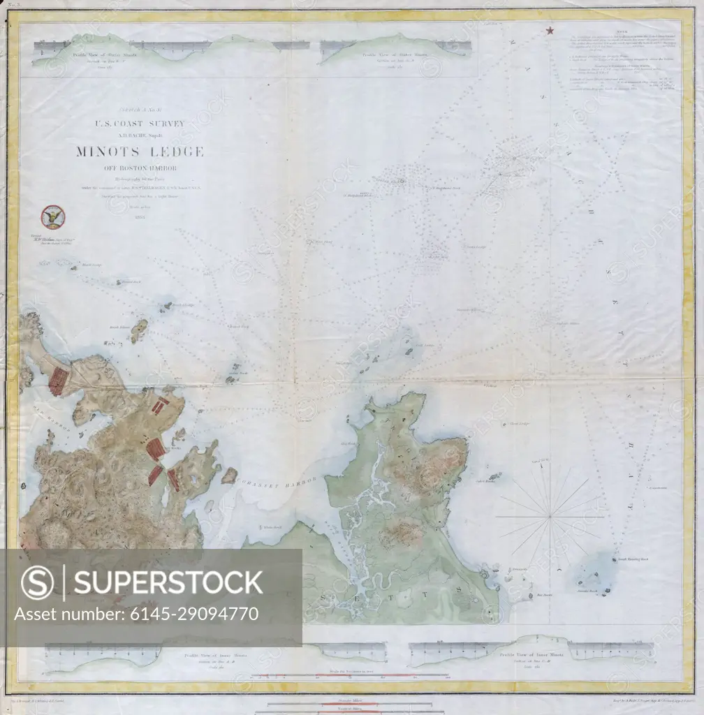
1853 U.S.C.S. Map of Minots Ledge, near Boston Harbor ( Cohasset )
SuperStock offers millions of photos, videos, and stock assets to creatives around the world. This image of Explore the Historic Minot's Ledge Nautical Chart – A Detailed 19th Century Maritime Map by Piemags/PL Photography Limited is available for licensing today.
DETAILS
Image Number: 6145-29094770Royalty FreeCredit Line:Piemags/PL Photography Limited/SuperStockCollection: