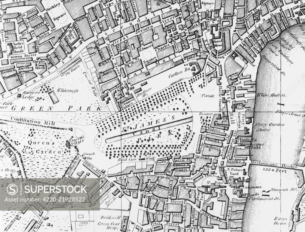
A map of London, showing the Westminster-Piccadilly area in 1804. Date: 1804
SuperStock offers millions of photos, videos, and stock assets to creatives around the world. This image of Historic London Map Revealing 19th Century Urban Layout and Landmarks by Mary Evans Picture Library/Pantheon is available for licensing today.
Looking for a license?
Click here, and we'll help you find it! Questions? Just ask!
Click here, and we'll help you find it! Questions? Just ask!
DETAILS
Image Number: 4220-21928522Rights ManagedCredit Line:Mary Evans Picture Library/Pantheon/SuperStockCollection:Mary Evans Picture Library Model Release:NoProperty Release:NoResolution:5000×3813