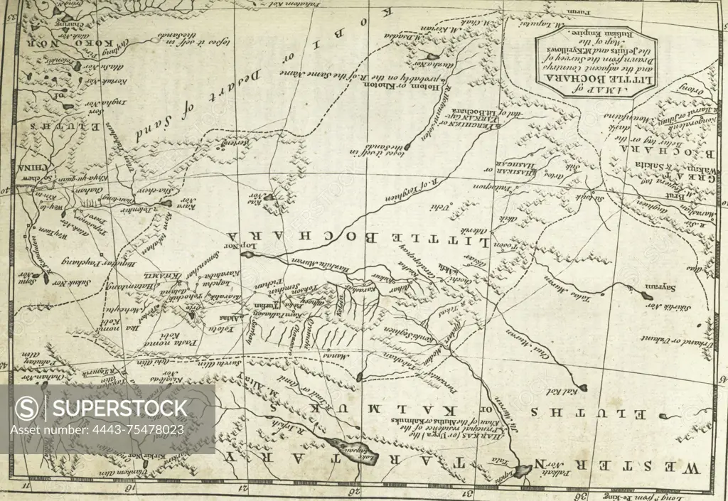
A map of Little Bochara and the adjacent countries, created between 1745 and 1747 by Thomas Astley. Published in London by T. Astley, the map features engravings
SuperStock offers millions of photos, videos, and stock assets to creatives around the world. This image of A map of Little Bochara and the adjacent countries, created between 1745 and 1747 by Thomas Astley. Published in London by T. Astley, the map features engravings by Artokoloro is available for licensing today.
Looking for a license?
Click here, and we'll help you find it! Questions? Just ask!
Click here, and we'll help you find it! Questions? Just ask!
DETAILS
Image Number: 4443-75478023Rights ManagedCredit Line:Artokoloro/SuperStockCollection:Artokoloro Model Release:NoProperty Release:NoResolution:3862×2661