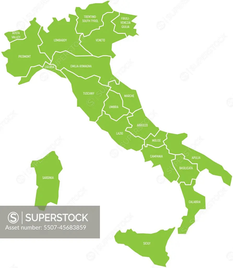
Map of Italy divided into 20 administrative regions. Green land, white borders and white labels. Simple flat vector illustration
SuperStock offers millions of photos, videos, and stock assets to creatives around the world. This image of Map of Italy divided into 20 administrative regions. Green land, white borders and white labels. Simple flat vector illustration by pyty/YayImages/YAY Images is available for licensing today.