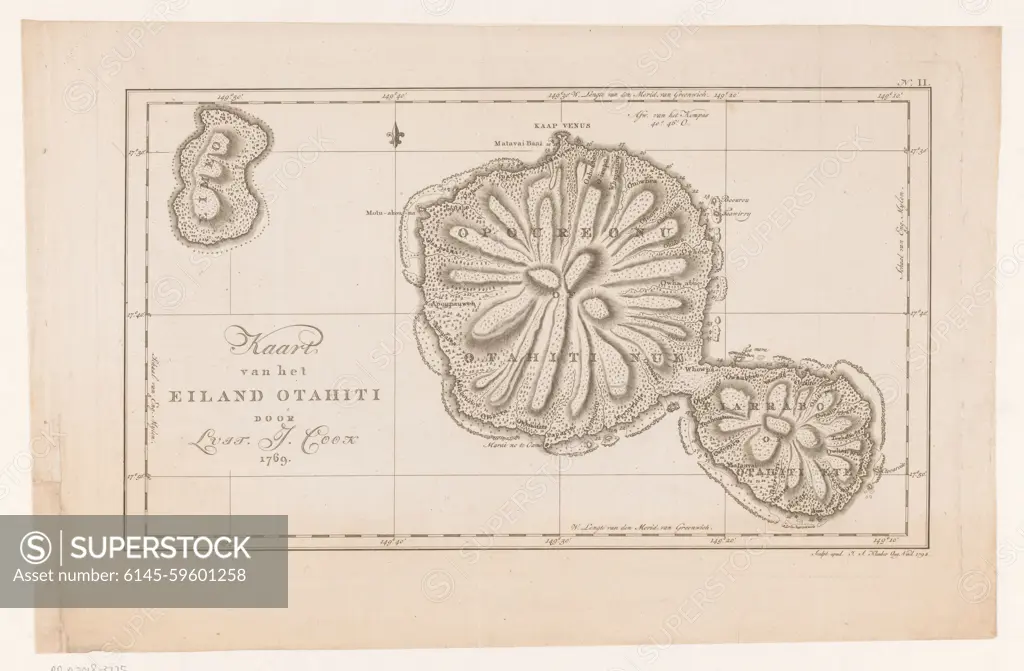
Map of the island of Tahiti in French-Polynesia, Ignaz Sebastian Klaber, 1794 print Numbered at the top right: 2. paper etching maps, atlases. island Tahiti
SuperStock offers millions of photos, videos, and stock assets to creatives around the world. This image of Map of the island of Tahiti in French-Polynesia, Ignaz Sebastian Klaber, 1794 print Numbered at the top right: 2. paper etching maps, atlases. island Tahiti by Piemags/PL Photography Limited is available for licensing today.
DETAILS
Image Number: 6145-59601258Royalty FreeCredit Line:Piemags/PL Photography Limited/SuperStockCollection:PL Photography Limited Contributor:Piemags Model Release:NoProperty Release:NoResolution:6222×4080
Free Research
Can't find the usage you need?
We're here to help!
Phone:+1 866 236 0087
Email: help@superstock.com
or fill out a Contact Form
Research / License Request Form
Can't find the usage you need?
We're here to help!
Phone:
or fill out a Contact Form
Research / License Request Form
Retouching Services
Our MediaMagnet division offers comprehensive retouching services at great rates. For a free quote, please send us an e-mail and we'll get back to you promptly.
Email: Retouching Service
Our MediaMagnet division offers comprehensive retouching services at great rates. For a free quote, please send us an e-mail and we'll get back to you promptly.
Email: Retouching Service