Map of Ireland from 18th century, showing counties, when all of Ireland was under British rule. 1797
This asset has restrictions and cannot be purchased online. Get in touch for more details.
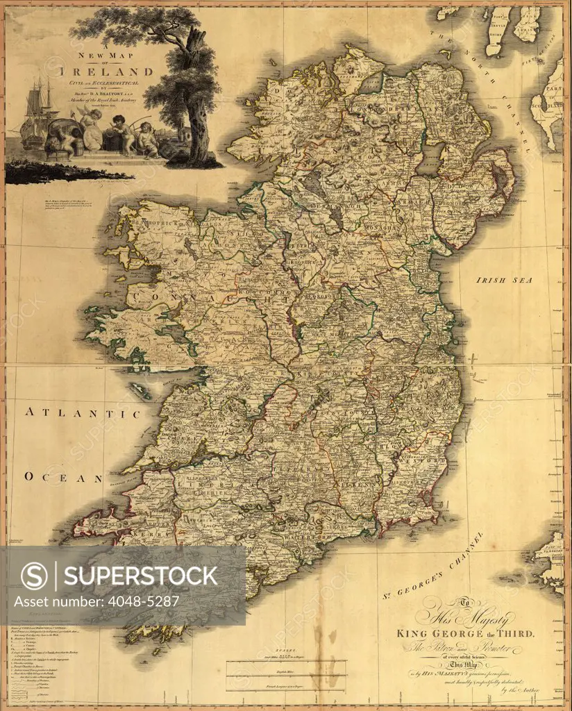
SuperStock offers millions of photos, videos, and stock assets to creatives around the world. This image of Map of Ireland from 18th century, showing counties, when all of Ireland was under British rule. 1797 by Everett Collection is available for licensing today.
Looking for a license?
Click here, and we'll help you find it! Questions? Just ask!
Click here, and we'll help you find it! Questions? Just ask!
DETAILS
Image Number: 4048-5287Rights ManagedCredit Line:Everett Collection/SuperStockCollection:Everett Collection Model Release:NoProperty Release:NoResolution:2700×3352