Map of the Hudson from Spuyten Duyvil to P. Livingston's, 1820, by Andrew Thompson Goodrich. Published by A.T. Goodrich, 124 Broadway, New York. Covers the Hudson River and Hudson River Valley in New York and New Jersey, and includes post roads
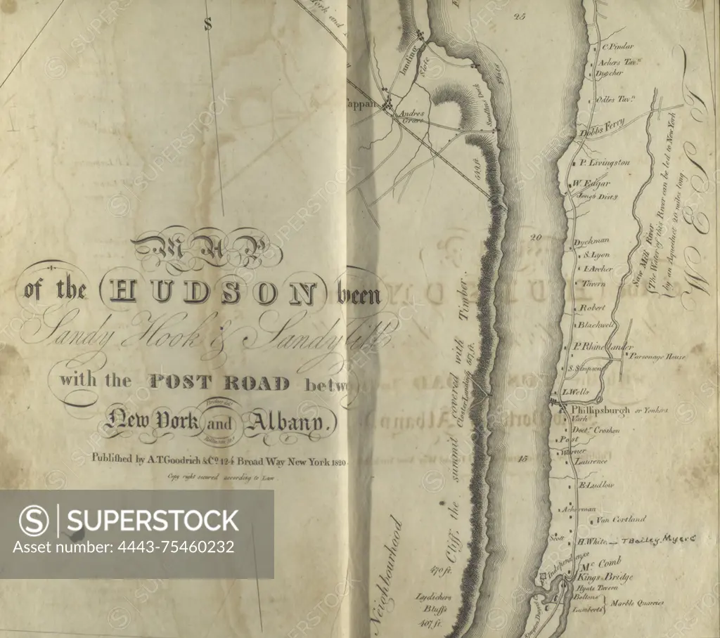
SuperStock offers millions of photos, videos, and stock assets to creatives around the world. This image of Map of the Hudson from Spuyten Duyvil to P. Livingston's, 1820, by Andrew Thompson Goodrich. Published by A.T. Goodrich, 124 Broadway, New York. Covers the Hudson River and Hudson River Valley in New York and New Jersey, and includes post roads by Artokoloro is available for licensing today.
Looking for a license?
Click here, and we'll help you find it! Questions? Just ask!
Click here, and we'll help you find it! Questions? Just ask!
DETAILS
Image Number: 4443-75460232Rights ManagedCredit Line:Artokoloro/SuperStockCollection:Artokoloro Model Release:NoProperty Release:NoResolution:3112×2761