A map of Guinea, Brazil, and the West Indies, created in 1617. It is categorized as a questionable work and depicts the Atlantic coast of Europe, West Africa, and America. The print measures 73.3 x 88.5 cm and is an engraving
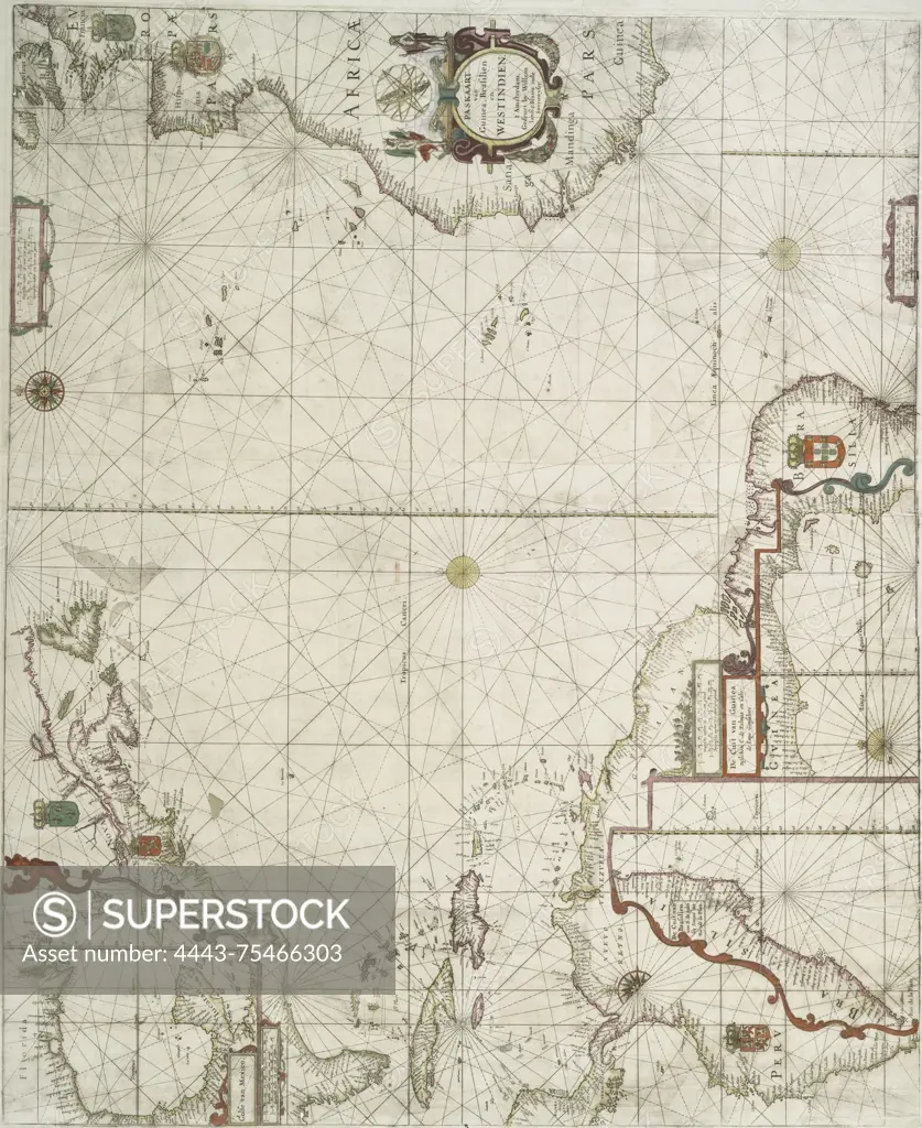
SuperStock offers millions of photos, videos, and stock assets to creatives around the world. This image of A map of Guinea, Brazil, and the West Indies, created in 1617. It is categorized as a questionable work and depicts the Atlantic coast of Europe, West Africa, and America. The print measures 73.3 x 88.5 cm and is an engraving by Artokoloro is available for licensing today.
Looking for a license?
Click here, and we'll help you find it! Questions? Just ask!
Click here, and we'll help you find it! Questions? Just ask!
DETAILS
Image Number: 4443-75466303Rights ManagedCredit Line:Artokoloro/SuperStockCollection:Artokoloro Model Release:NoProperty Release:NoResolution:3602×4404