Map of Germany, Rhineland-Palatinate highlighted. Political map of Germany with the several states where Rhineland-Palatinate is highlighted.
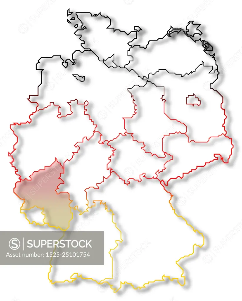
SuperStock offers millions of photos, videos, and stock assets to creatives around the world. This image of Map of Germany, Rhineland-Palatinate highlighted. Political map of Germany with the several states where Rhineland-Palatinate is highlighted. by Schwabenblitz/Ingram Publishing is available for licensing today.
Looking for a license?
Click here, and we'll help you find it! Questions? Just ask!
Click here, and we'll help you find it! Questions? Just ask!
DETAILS
Image Number: 1525-25101754Royalty FreeCredit Line:Schwabenblitz/Ingram Publishing/SuperStockCollection:Ingram Publishing Contributor:Schwabenblitz Model Release:NoProperty Release:NoResolution:5512×6850