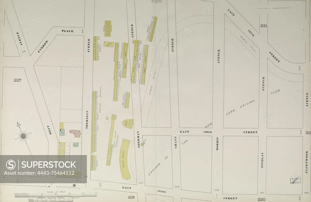
Map from Bronx, Volume 10, Double Page Plate No. 226, bounded by E. 167th St., Fleetwood Ave., E. 165th St., and Mott Ave. Issued by the Sanborn Map Company in 1884 and 1891, depicting fire insurance and real property details for neighborhoods in New York State
SuperStock offers millions of photos, videos, and stock assets to creatives around the world. This image of Map from Bronx, Volume 10, Double Page Plate No. 226, bounded by E. 167th St., Fleetwood Ave., E. 165th St., and Mott Ave. Issued by the Sanborn Map Company in 1884 and 1891, depicting fire insurance and real property details for neighborhoods in New York State by Artokoloro is available for licensing today.
Looking for a license?
Click here, and we'll help you find it! Questions? Just ask!
Click here, and we'll help you find it! Questions? Just ask!
DETAILS
Image Number: 4443-75464112Rights ManagedCredit Line:Artokoloro/SuperStockCollection:Artokoloro Model Release:NoProperty Release:NoResolution:5700×3714