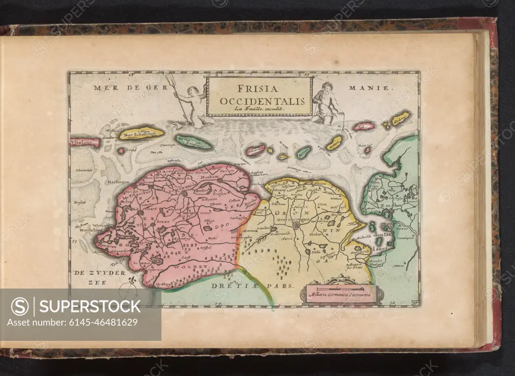
Map of Friesland and Groningen; Frisia Occidentalis. Map of Friesland and Groningen and a part of the Wadden Islands. Part of an Atlas with 223 maps of countries and cities and war scaffolding in Europe in the period approx. 1690-1735.
SuperStock offers millions of photos, videos, and stock assets to creatives around the world. This image of Map of Friesland and Groningen; Frisia Occidentalis. Map of Friesland and Groningen and a part of the Wadden Islands. Part of an Atlas with 223 maps of countries and cities and war scaffolding in Europe in the period approx. 1690-1735. by Piemags/PL Photography Limited is available for licensing today.
Looking for a license?
Click here, and we'll help you find it! Questions? Just ask!
Click here, and we'll help you find it! Questions? Just ask!
DETAILS
Image Number: 6145-46481629Royalty FreeCredit Line:Piemags/PL Photography Limited/SuperStockCollection:PL Photography Limited Contributor:Piemags Model Release:NoProperty Release:NoResolution:2500×1827