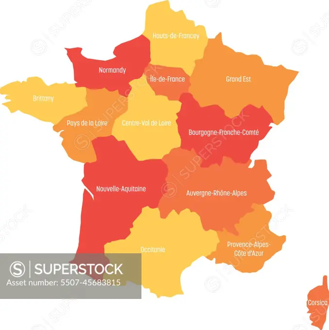
Map of France divided into 13 administrative metropolitan regions, since 2016. Warm colors. Vector illustration
SuperStock offers millions of photos, videos, and stock assets to creatives around the world. This image of Map of France divided into 13 administrative metropolitan regions, since 2016. Warm colors. Vector illustration by pyty/YayImages/YAY Images is available for licensing today.