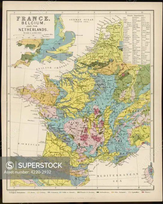
Map of France, Belgium and the NetherlandsDate: early 20th century
SuperStock offers millions of photos, videos, and stock assets to creatives around the world. This image of Explore the Historic Map of France, Belgium, and the Netherlands: A Detailed Geological Survey by Mary Evans Picture Library/Pantheon is available for licensing today.
DETAILS
Image Number: 4220-2932Rights ManagedCredit Line:Mary Evans Picture Library/Pantheon/SuperStockCollection:Mary Evans Picture Library Model Release:NoProperty Release:NoResolution:3515×4400