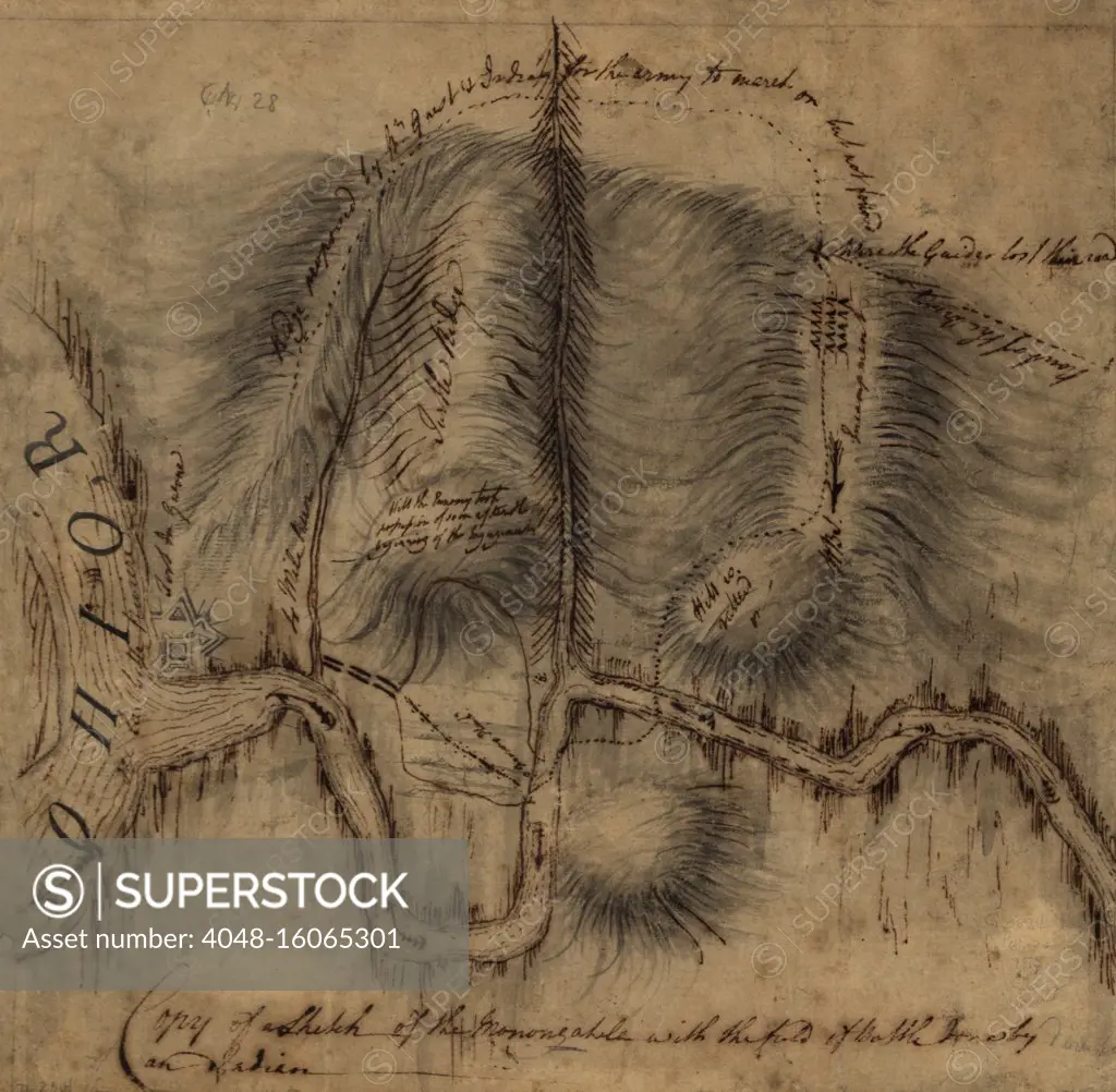
1755 map of the Forks of the Ohio, where the Monongahela and Allegany Rivers merge, becoming the Ohio River. On the left, at the confluence, is a diagram of Fort Duquesne, the French Fort that was the immediate cause of the French and Indian War, 1754-64 (BSLOC_2019_3_3)
SuperStock offers millions of photos, videos, and stock assets to creatives around the world. This image of 1755 map of the Forks of the Ohio, where the Monongahela and Allegany Rivers merge, becoming the Ohio River. On the left, at the confluence, is a diagram of Fort Duquesne, the French Fort that was the immediate cause of the French and Indian War, 1754-64 (BSLOC_2019_3_3) by Everett Collection is available for licensing today.
Looking for a license?
Click here, and we'll help you find it! Questions? Just ask!
Click here, and we'll help you find it! Questions? Just ask!
DETAILS
Image Number: 4048-16065301Rights ManagedCredit Line:Everett Collection/SuperStockCollection:Everett Collection Model Release:NoProperty Release:NoResolution:3000×2936