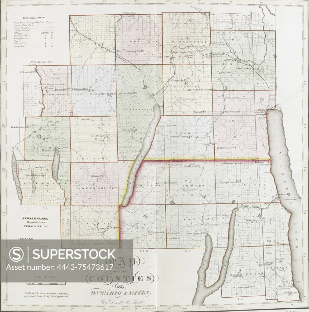
Map of the counties of Ontario and Yates, 1841. Published by Stone & Clark, New York. Issued in Ithaca, N.Y. This hand-colored map illustrates real property and landowners in Ontario County and Yates County, New York. 40 x 38 cm
SuperStock offers millions of photos, videos, and stock assets to creatives around the world. This image of Map of the counties of Ontario and Yates, 1841. Published by Stone & Clark, New York. Issued in Ithaca, N.Y. This hand-colored map illustrates real property and landowners in Ontario County and Yates County, New York. 40 x 38 cm by Artokoloro is available for licensing today.
Looking for a license?
Click here, and we'll help you find it! Questions? Just ask!
Click here, and we'll help you find it! Questions? Just ask!
DETAILS
Image Number: 4443-75473617Rights ManagedCredit Line:Artokoloro/SuperStockCollection:Artokoloro Model Release:NoProperty Release:NoResolution:2617×2647