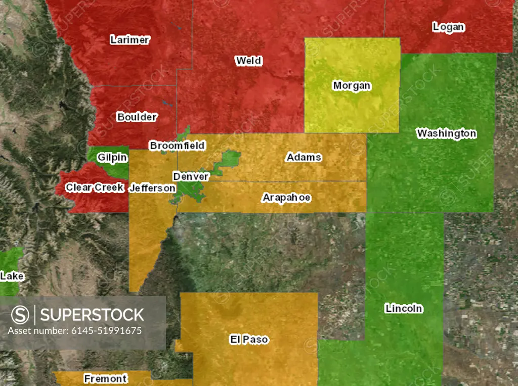
This is a map of the counties in Colorado declared in 2013. The colors indicate the degree of damage; red being the worst, green being the least... Photographs Relating to Disasters and Emergency Management Programs, Activities, and Officials
SuperStock offers millions of photos, videos, and stock assets to creatives around the world. This image of This is a map of the counties in Colorado declared in 2013. The colors indicate the degree of damage; red being the worst, green being the least... Photographs Relating to Disasters and Emergency Management Programs, Activities, and Officials by piemags/PL Photography Limited is available for licensing today.
Looking for a license?
Click here, and we'll help you find it! Questions? Just ask!
Click here, and we'll help you find it! Questions? Just ask!
DETAILS
Image Number: 6145-51991675Royalty FreeCredit Line:piemags/PL Photography Limited/SuperStockCollection:PL Photography Limited Story:Satellite Views of Environmental ChangeContributor:piemags Model Release:NoProperty Release:NoResolution:670×500