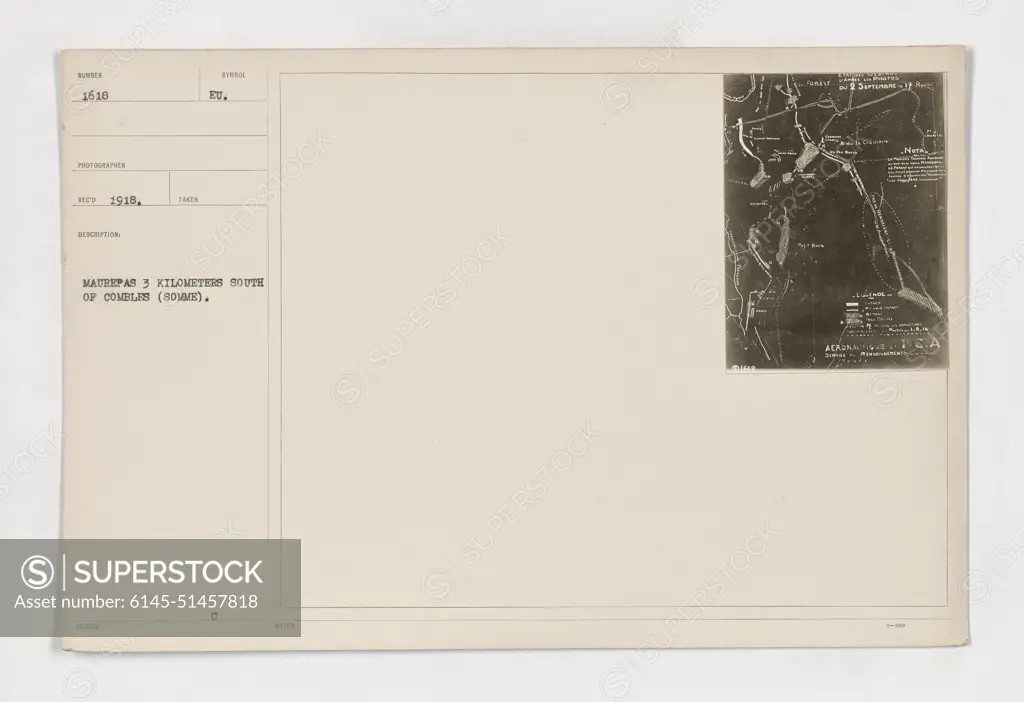
Map of Combles (Somme), taken in 1918 by Humber 1616 photographer. The map shows the location of Maurepas, situated 3 kilometers south of Combles, in the Somme region. Notes indicate that the photo was taken during a military activity on September 2nd, with references to Tomas Tune Peln and a Nor Acronique Ca.
SuperStock offers millions of photos, videos, and stock assets to creatives around the world. This image of Map of Combles (Somme), taken in 1918 by Humber 1616 photographer. The map shows the location of Maurepas, situated 3 kilometers south of Combles, in the Somme region. Notes indicate that the photo was taken during a military activity on September 2nd, with references to Tomas Tune Peln and a Nor Acronique Ca. by PL Photography Limited is available for licensing today.
Looking for a license?
Click here, and we'll help you find it! Questions? Just ask!
Click here, and we'll help you find it! Questions? Just ask!
DETAILS
Image Number: 6145-51457818Royalty FreeCredit Line:PL Photography Limited/SuperStockCollection:PL Photography Limited Model Release:NoProperty Release:NoResolution:9178×6297