1600S 1635 Map Of Colonial Maryland And Chesapeake Bay
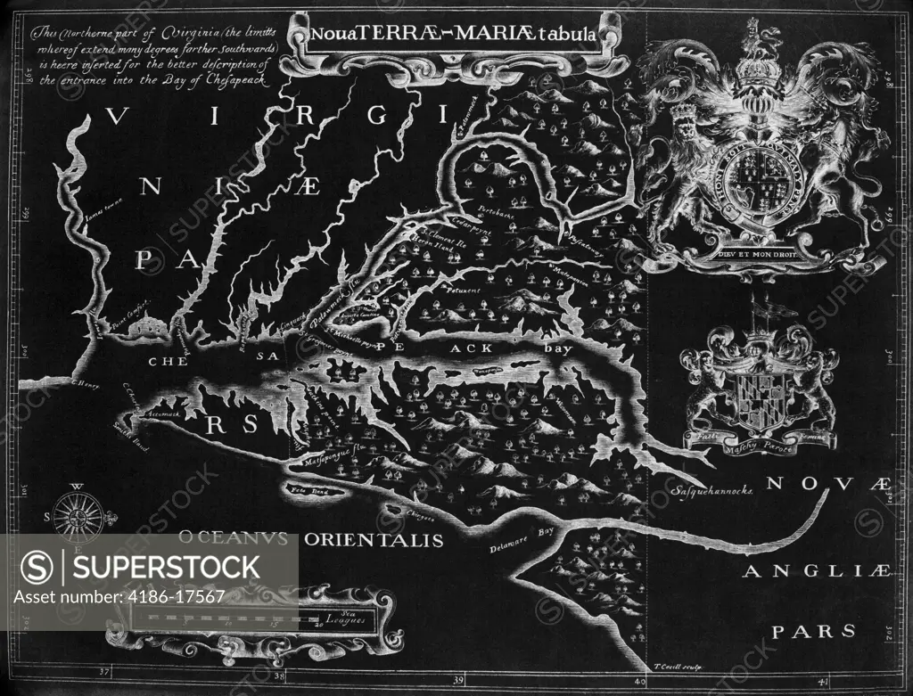
SuperStock offers millions of photos, videos, and stock assets to creatives around the world. This image of Vintage map of early Virginia and the Eastern Seaboard, showcasing historical cartography and exploration. by ClassicStock is available for licensing today.
Looking for a license?
Click here, and we'll help you find it! Questions? Just ask!
Click here, and we'll help you find it! Questions? Just ask!
DETAILS
Image Number: 4186-17567Rights ManagedCredit Line:ClassicStock/SuperStockCollection:ClassicStock Model Release:NoProperty Release:NoResolution:4033×3077