Map of Chester County, Pennsylvania, issued in 1873 by A.R. Witmer. The hand-colored map measures 48 x 52 cm and features details related to railroads, postal service, and administrative and political divisions within Chester County. The map is located in Safe Harbor, PA
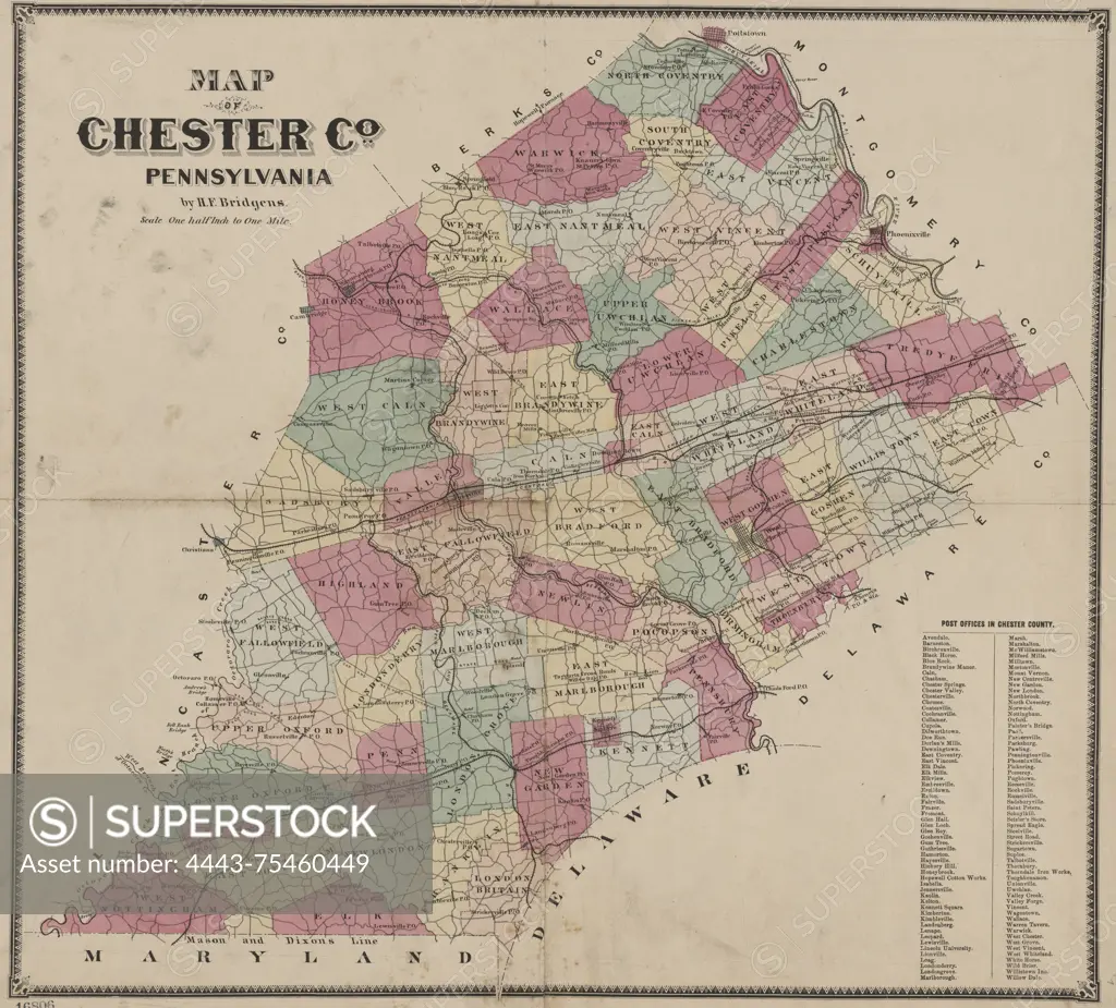
SuperStock offers millions of photos, videos, and stock assets to creatives around the world. This image of Map of Chester County, Pennsylvania, issued in 1873 by A.R. Witmer. The hand-colored map measures 48 x 52 cm and features details related to railroads, postal service, and administrative and political divisions within Chester County. The map is located in Safe Harbor, PA by Artokoloro is available for licensing today.
Looking for a license?
Click here, and we'll help you find it! Questions? Just ask!
Click here, and we'll help you find it! Questions? Just ask!
DETAILS
Image Number: 4443-75460449Rights ManagedCredit Line:Artokoloro/SuperStockCollection:Artokoloro Model Release:NoProperty Release:NoResolution:5700×5149