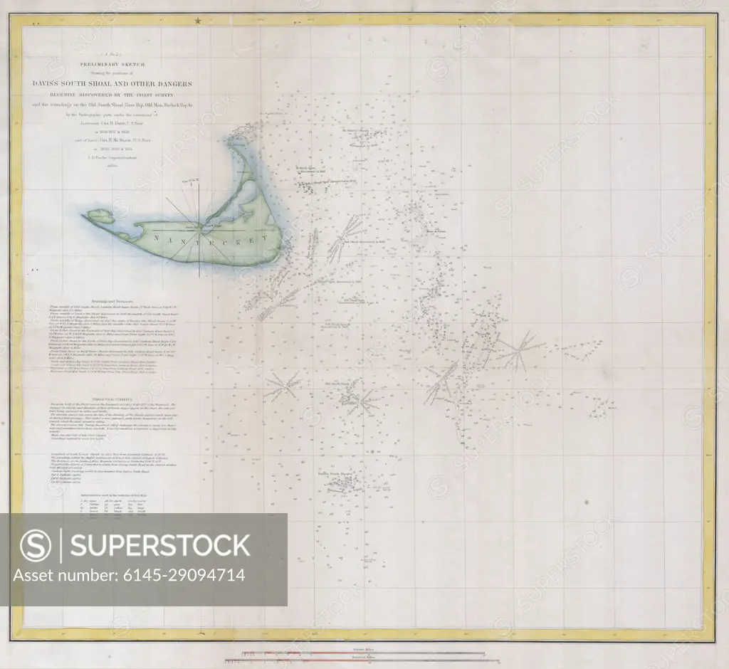
1852 U.S.C.S. Map or Chart of Nantucket, Massachusetts
SuperStock offers millions of photos, videos, and stock assets to creatives around the world. This image of Explore Historical Maritime Navigation with This Antique 19th Century Nautical Chart of Nantucket Shoals, Barnstable, County Massachusetts! by Piemags/PL Photography Limited is available for licensing today.
DETAILS
Image Number: 6145-29094714Royalty FreeCredit Line:Piemags/PL Photography Limited/SuperStockCollection: