A map of the canals and railroads of Pennsylvania and New Jersey and the adjoining states, issued in 1839. Published by H.S. Tanner in Philadelphia, this hand-colored map measures 49 x 68 cm and is folded in a leather cover measuring 16 x 9 cm. It includes details about canals and railroads in Pennsylvania and New Jersey
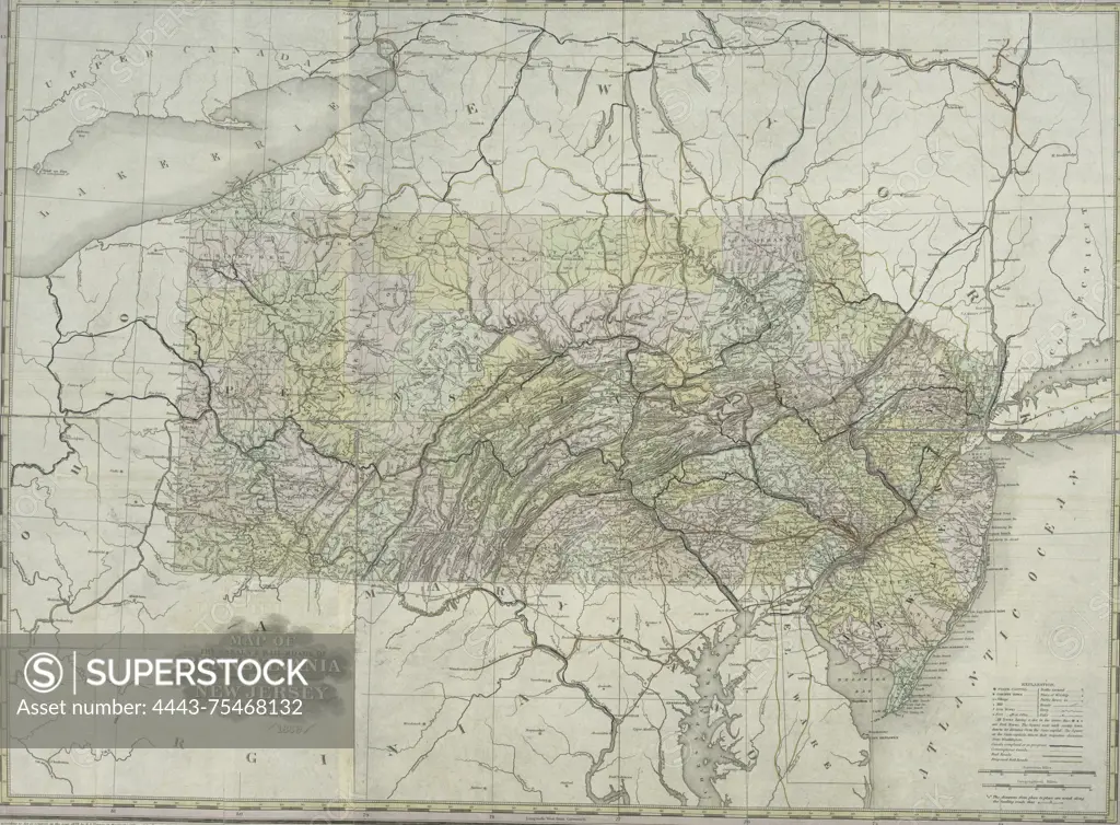
SuperStock offers millions of photos, videos, and stock assets to creatives around the world. This image of A map of the canals and railroads of Pennsylvania and New Jersey and the adjoining states, issued in 1839. Published by H.S. Tanner in Philadelphia, this hand-colored map measures 49 x 68 cm and is folded in a leather cover measuring 16 x 9 cm. It includes details about canals and railroads in Pennsylvania and New Jersey by Artokoloro is available for licensing today.
Looking for a license?
Click here, and we'll help you find it! Questions? Just ask!
Click here, and we'll help you find it! Questions? Just ask!
DETAILS
Image Number: 4443-75468132Rights ManagedCredit Line:Artokoloro/SuperStockCollection:Artokoloro Model Release:NoProperty Release:NoResolution:4417×3253