Map of Canada, Prince Edward Island highlighted Political map of Canada with the several provinces where Prince Edward Island is highlighted. Copyright: xZoonar.com/SteffenxHammerx 2723331
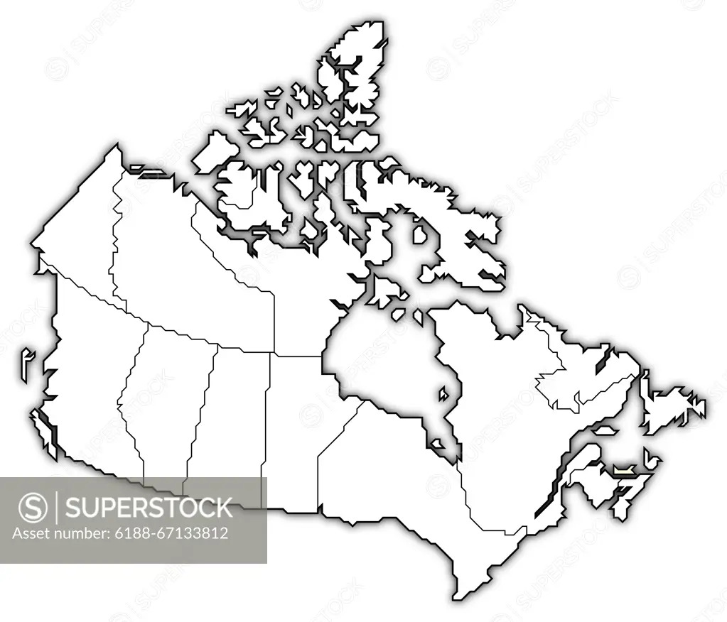
SuperStock offers millions of photos, videos, and stock assets to creatives around the world. This image of Map of Canada, Prince Edward Island highlighted Political map of Canada with the several provinces where Prince Edward Island is highlighted. Copyright: xZoonar.com/SteffenxHammerx 2723331 by IMAGO/Zoonar is available for licensing today.
Looking for a license?
Click here, and we'll help you find it! Questions? Just ask!
Click here, and we'll help you find it! Questions? Just ask!
DETAILS
Image Number: 6188-67133812Royalty FreeCredit Line:IMAGO/Zoonar/SuperStockCollection:Imago Contributor:IMAGO/Zoonar Model Release:NoProperty Release:NoResolution:6575×5630