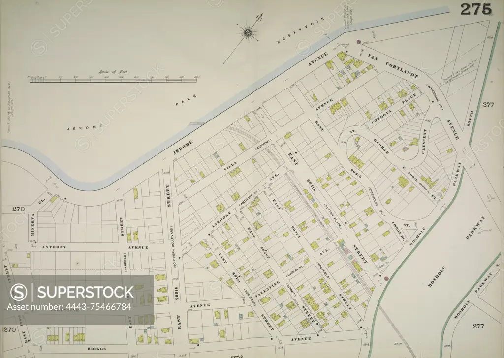
Map of the Bronx, volume 12, Double Page Plate No. 275, featuring the area bounded by Jerome Ave., Van Cortlandt Ave., Mosholu Parkway South, Briggs Ave., and E. 198th St. Issued by the Sanborn Map Company, the map is dated between 1884 and 1896 and is focused on fire insurance, real property, and urban development in New York State
SuperStock offers millions of photos, videos, and stock assets to creatives around the world. This image of Map of the Bronx, volume 12, Double Page Plate No. 275, featuring the area bounded by Jerome Ave., Van Cortlandt Ave., Mosholu Parkway South, Briggs Ave., and E. 198th St. Issued by the Sanborn Map Company, the map is dated between 1884 and 1896 and is focused on fire insurance, real property, and urban development in New York State by Artokoloro is available for licensing today.
Looking for a license?
Click here, and we'll help you find it! Questions? Just ask!
Click here, and we'll help you find it! Questions? Just ask!
DETAILS
Image Number: 4443-75466784Rights ManagedCredit Line:Artokoloro/SuperStockCollection:Artokoloro Model Release:NoProperty Release:NoResolution:5700×4056