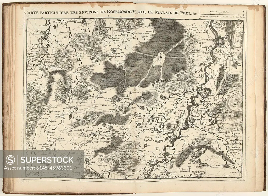
Map of the area of Roermond and Venlo, 1709; Carte Private Des Environs de Roermonde, Venlo, Le Marais de Peel, & c .. Map of the area of Roermond and Venlo with De Peel, 1709. Part of a bundled collection of plans of battles and cities of the Germaard in the Spanish succession war. This plate belongs to the first 24 plates that together form a very large map of the Southern Netherlands.
SuperStock offers millions of photos, videos, and stock assets to creatives around the world. This image of Map of the area of Roermond and Venlo, 1709; Carte Private Des Environs de Roermonde, Venlo, Le Marais de Peel, & c .. Map of the area of Roermond and Venlo with De Peel, 1709. Part of a bundled collection of plans of battles and cities of the Germaard in the Spanish succession war. This plate belongs to the first 24 plates that together form a very large map of the Southern Netherlands. by Piemags/PL Photography Limited is available for licensing today.
DETAILS
Image Number: 6145-45963301Royalty FreeCredit Line:Piemags/PL Photography Limited/SuperStockCollection:PL Photography Limited Contributor:Piemags Model Release:NoProperty Release:NoResolution:2500×1834
Free Research
Can't find the usage you need?
We're here to help!
Phone:+1 866 236 0087
Email: help@superstock.com
or fill out a Contact Form
Research / License Request Form
Can't find the usage you need?
We're here to help!
Phone:
or fill out a Contact Form
Research / License Request Form
Retouching Services
Our MediaMagnet division offers comprehensive retouching services at great rates. For a free quote, please send us an e-mail and we'll get back to you promptly.
Email: Retouching Service
Our MediaMagnet division offers comprehensive retouching services at great rates. For a free quote, please send us an e-mail and we'll get back to you promptly.
Email: Retouching Service